

10 Year ReportInSAR MonitoringIoT SensorsHow It WorksPricingFREE Property CheckResourcesTechnical documentsPress releasesLegal and termsAboutThree layers of intelligenceAVANT GlobalSatSenseEarth Sciences NZ Shop
Coastal suburb with InSAR monitoring overlay

10-Year Land Subsidence Report · Most homes $345*

Monitor your Land Stability
From Space.

On-Demand Land Subsidence Reports - buy, build or insure with confidenceReal-Time IoT Monitoring & Alerts - catch ground movement before it costs youEnterprise Land Intelligence Platform - manage risk across your whole portfolio

Your full 10-year property history from just $345 incl. GST ($300 + GST) · one payment, no subscription · most homes are the lowest tier. See pricing

SatelliteInSAR radar
1mmmovement precision
12-Daydata intervals
10 Yearsof history
NZ flagNZOwned
Current Land Stability
78High Risk
Movement Rate-7.3 mm/yr
10-Year Movement-46 mm
Live Alert
Movement detected near your property
LandSure AI Platform
View Alert →
Flood Risk
Medium
Predicted Depth
1.2 m
Risk Increasing
Powered by New Zealand's most trusted data and sensor partners

10-Year Land Subsidence Report

10 years of movement. Check Before you Buy.

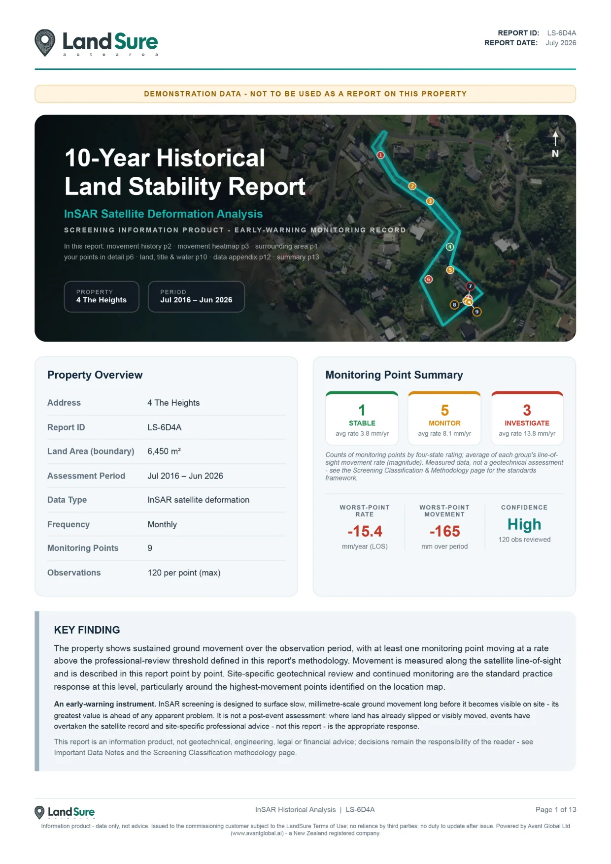
The LandSure 10-Year Land Subsidence Report shows how the ground under a property has moved over the past decade - drawn from satellite InSAR data and delivered as a clear, plain-English PDF. A straightforward way for buyers, owners and professionals to check land movement before making a decision.

Ground problems are far cheaper to know about now than to fix later - don't buy, build or insure blind.
Check my property for FREE
LandSure 10-Year Land Subsidence Report cover page

Built on world-leading satellite intelligence

In partnership with SatSense, LandSure brings proven InSAR deformation monitoring - trusted on rail, mining and infrastructure worldwide - to every New Zealand property.

1,441,000+NZ Homes in Flood Risk Zones
10+ YearsNZ Historical Data Archive
12-DayNationwide Update Cadence
1 mmGround Movement Precision
100%NZ Coverage

Monitor Your Property From Space
Check your land before you buy.

Instant online quote No subscription Secure & private Trusted by professionals
Buy Report Now
Full 10-year history from just $345 incl. GST · one payment, no subscription · delivered within 24 hours, expert checked before it reaches you.
For Homeowners

Protect your home.
Plan with confidence.

New Zealand home protected by LandSure land stability monitoring

LandSure gives you the insights you need to understand your land, protect your investment, and plan for the future.

Understand your landSee how your land is moving over time with easy-to-understand satellite insights and maps.
Get real-time alertsStay informed of any changes or risks to your property with instant notifications.
Access clear, simple reportsGet monthly reports that explain what's happening and what it could mean for your property.
Plan smarterUse insights to guide renovations, landscaping, and future property decisions.
Engage with geotechs soonerIdentify potential issues early and connect with the right experts before they become bigger problems.
For Engineers & Enterprise

Scale your operations.
Deliver more value.

Geotechnical engineer's hard hat - LandSure for engineers and enterprise

Built for geotechs, engineers, developers and organisations who need powerful tools to manage risk and deliver at scale.

Bring Your Own Data (BYOD)Import your datasets and combine them with our satellite intelligence for deeper analysis and better outcomes.
Manage multiple locationsMonitor and analyse unlimited sites and projects from a single, powerful dashboard.
Client billing & white labellingRebrand the platform as your own, deliver reports under your brand and bill your clients with ease.
Wholesale, competitive pricingAccess enterprise-scale pricing designed to help you win more work and grow profitably.
Built for professionalsPowerful tools, flexible integrations, and dedicated support to help your business stay ahead.
Monitoring platform coming soon

An early warning system for everyone.

LandSure gives homeowners, geotechs and organisations the clarity to act early and reduce risk before small movements become big problems.

Satellite early-warning view highlighting ground movement across terrain
1

Early Detection

Detect areas of movement before it becomes a major Geotech problem.
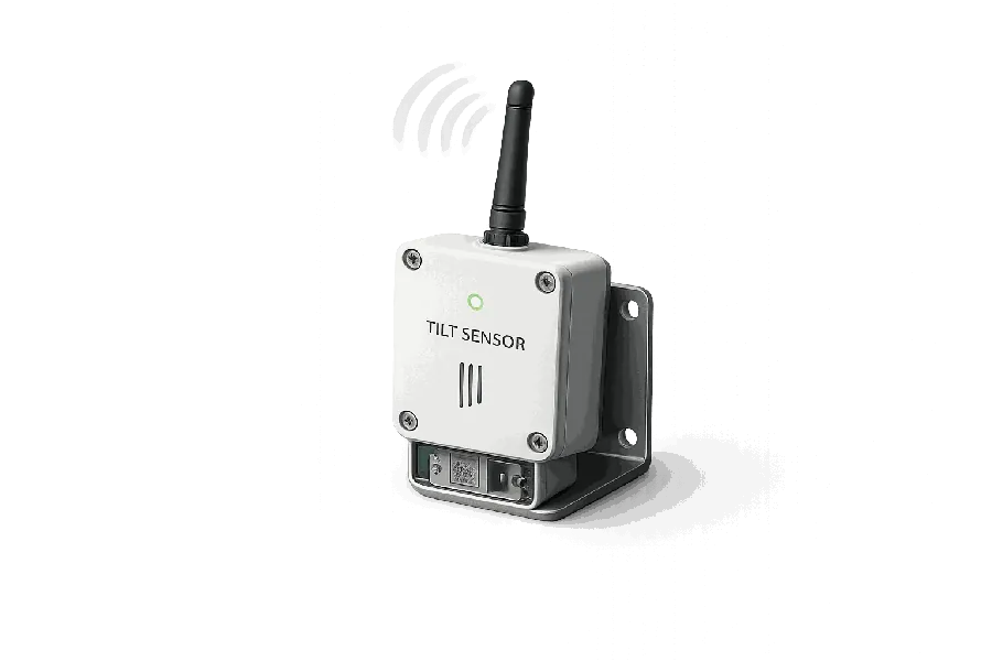
LandSure wireless tilt sensor with antenna installed in the ground
2

Integrate IoT Sensors

Connect and integrate IoT sensors, for real-time monitoring of high risk areas

High-risk flood alert displayed on a smartphone
3

Instant Text Alerts

SMS alerts for up to 5 mobile numbers. Email updates for events.
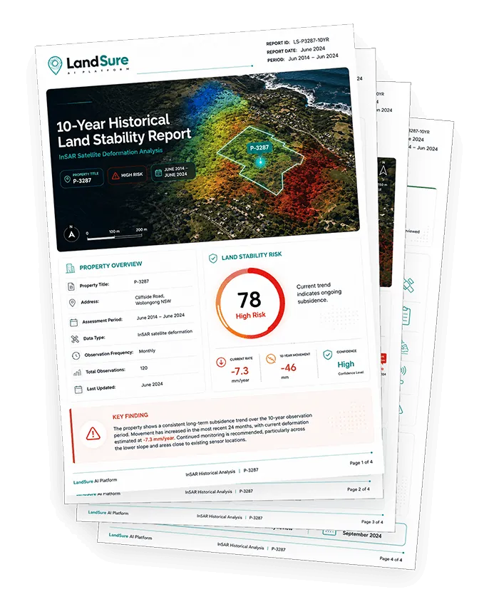
Stack of LandSure land stability report pages
4

Bi-Monthly Email Reports

Clear insights you can share with professionals. Makes complex data simple.

Geotechnical engineer carrying out an on-site land assessment
5

Use with Local Geotechs

LandSure is designed to be an additional tool for local surveying & civil support.
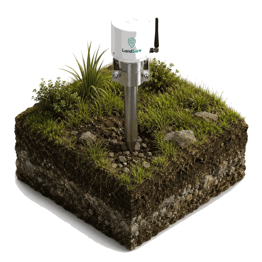
LandSure wireless tilt sensor installed in ground
Work with Your Local Geotech to Integrate IoT SensorsSatellite imagery is a great "canary in the coalmine". It allows you to engage with a Geotech and fix issues early.
IoT Sensors: Real-Time ConfirmationTilt-sensors are deployed in high-risk areas for continuous, real-time monitoring and immediate alerts.

Real-Time Protection for High Risk Areas

Connect IoT Sensors. Get Real-Time Alerts.

Wireless tilt-sensors provide continuous, real-time monitoring of land movement in extreme cases. Installed by our geotechnical team and integrated directly into your LandSure dashboard and reports.

Contact our Enterprise Team
Text Message AlertsInstant SMS alerts sent to up to 5 people simultaneously.
Up to 5 people
Email AlertsDetailed email alerts with sensor data, location and severity level.
Instant notifications
Physical Alarm (Optional)Connect to on-site alarms or sirens for high-urgency, critical events.
On-site response
Combined Intelligence. Maximum Protection.

Satellite intelligence gives you the big picture. IoT sensors give you real-time certainty where it matters most.

Detect early. Monitor continuously. Respond instantly.
For Homeowners

Protect your home and your future.

12-day monitoring
SMS & email alerts
Flood & coastal risk alerts
10 years of movement history
Easy-to-understand reports
Protect My Property

(Monitoring Platform Coming Soon)

Coastal home at sunset
FOR GEOTECHS & SURVEYORS

Use LandSure Enterprise for Your Business. 
Monitor multiple locations
White label reporting
API & data integrations
Bulk & wholesale pricing
Support your clients with early insights
Book Enterprise Demo
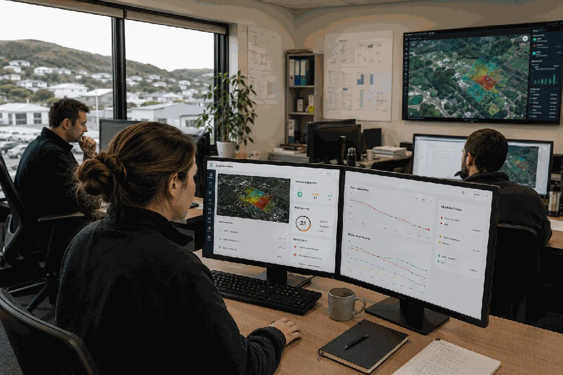
Geotech team monitoring multiple sites

Talk to our team

Find the right LandSure plan for your needs.

Tell us a little about your property or organisation and our team will be in touch with tailored advice, pricing and a platform walkthrough.

Response within 1 business day
No obligation, no pressure
From single homes to enterprise fleets

By submitting you agree to be contacted about LandSure. We never share your details.